Some links to a bunch of historical maps that show North Woodside in its younger days (zoom in just above the northern tip of DC to where it says “Woodside”)
- 1891 (year after our neighborhood was established)
- 1893 (shows the neighborhood lies ~7.5 miles from White House)
- 1917 (shows bridge that preceded the historic Talbot Avenue Bridge, built in 1918 and demolished in 2019) Note: if you live in one of the oldest houses in the neighborhood you should be able to find your house on this one.
- 1918
- 1924
- 1929 (#1)
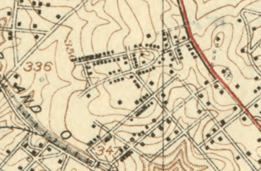
- 1929 (#2) Note: many more neighbors should be able to find their houses on this one — particularly those living in bungalows and Sears Kit houses on Grace Church, Hanover, Glen Ross, Luzerne, and 2nd.
So interesting to imagine what this area looked like back then. Very little development and no Beltway yet!
