By Ricky Albores, Honorary NWCA Member
As you may know, the Maryland Legislature passed a law in 2020 to allow residents to file amendments to historic deeds to remove racially restrictive covenants from land records.

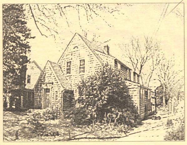
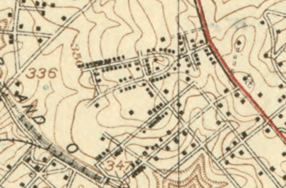
I had heard that some homeowners associations had successfully applied to have racist covenants stricken from their deeds as early as 2019. In November 2021, I contacted the Montgomery County State’s Attorney’s office for instructions on how to do this myself under the 2020 law. They sent me an intake form and instructions. I had already found the original deed to our house in the Maryland Land Records. The process took a little time to work my way back through the intervening deeds, which contained the relevant deed book/folio and page numbers to find the first deed from the Woodside Development Corporation to J. Reginald Boyd, the buyer who had our house built.
Once I found the deed, I was hoping it didn’t have a racially restrictive covenant, but alas it did. The 1925 deed provided, among other things, that:
“For the purpose of sanitation and health, neither the said party of the second part [buyer], nor their heirs or assigns shall or will sell or lease the said land to any one OF A RACE WHOSE DEATH RATE IS AT A HIGHER PERCENTAGE THAN THE WHITE RACE.” (Emphasis added)
I printed out the deed, crossed out the offensive covenant, filled out the State of Maryland Restrictive Covenant modification form, and took it to the Montgomery County Circuit Court, where a clerk took my documents, but issued no receipt or copy. Three months later I received my original signed and approved intake form and modified deed. Upon examination, it appears the county attorney approved the modification on January 18, 2022. I looked up the modification in the Maryland Land Records and found the modification online. All in all a fairly simple process after finding the deed. Also a satisfying personal endeavor that I’m happy to share with my neighbors across Georgia Ave.
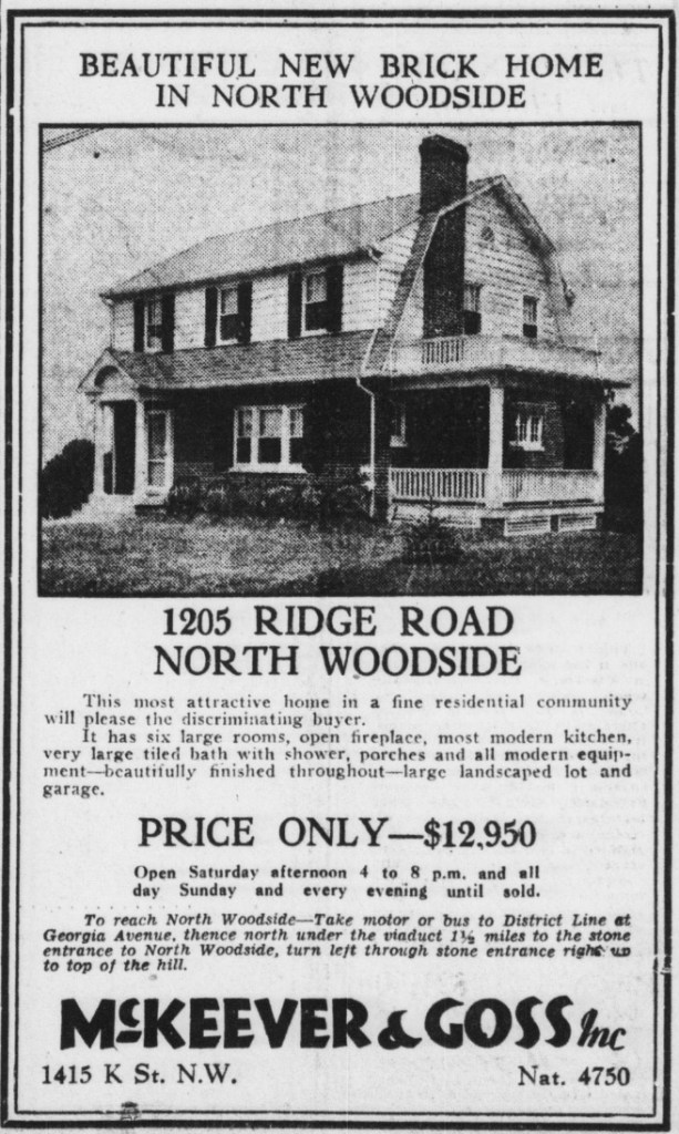
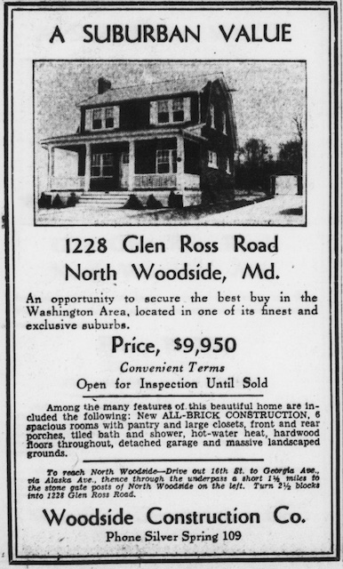
Editor’s note: Ricky recently moved to nearby Woodside Park, after living on Hanover St. for 20 years. Many properties in North Woodside have similar racist deed covenants.
» Want to find out if your house has a racist deed covenant? You’ll need to do a chain of title search to dig up old deeds.